Telefono: 379 14 89 430
Orari: Monday to Friday, 9:00 a.m. to 6:00 p.m.

Scegli quali categorie di cookie autorizzare. I cookie necessari sono sempre attivi per garantire sicurezza e funzionalità di base.
Telefono: 379 14 89 430
Orari: Monday to Friday, 9:00 a.m. to 6:00 p.m.


Telefono: 379 14 89 430
Orari: Monday to Friday, 9:00 a.m. to 6:00 p.m.

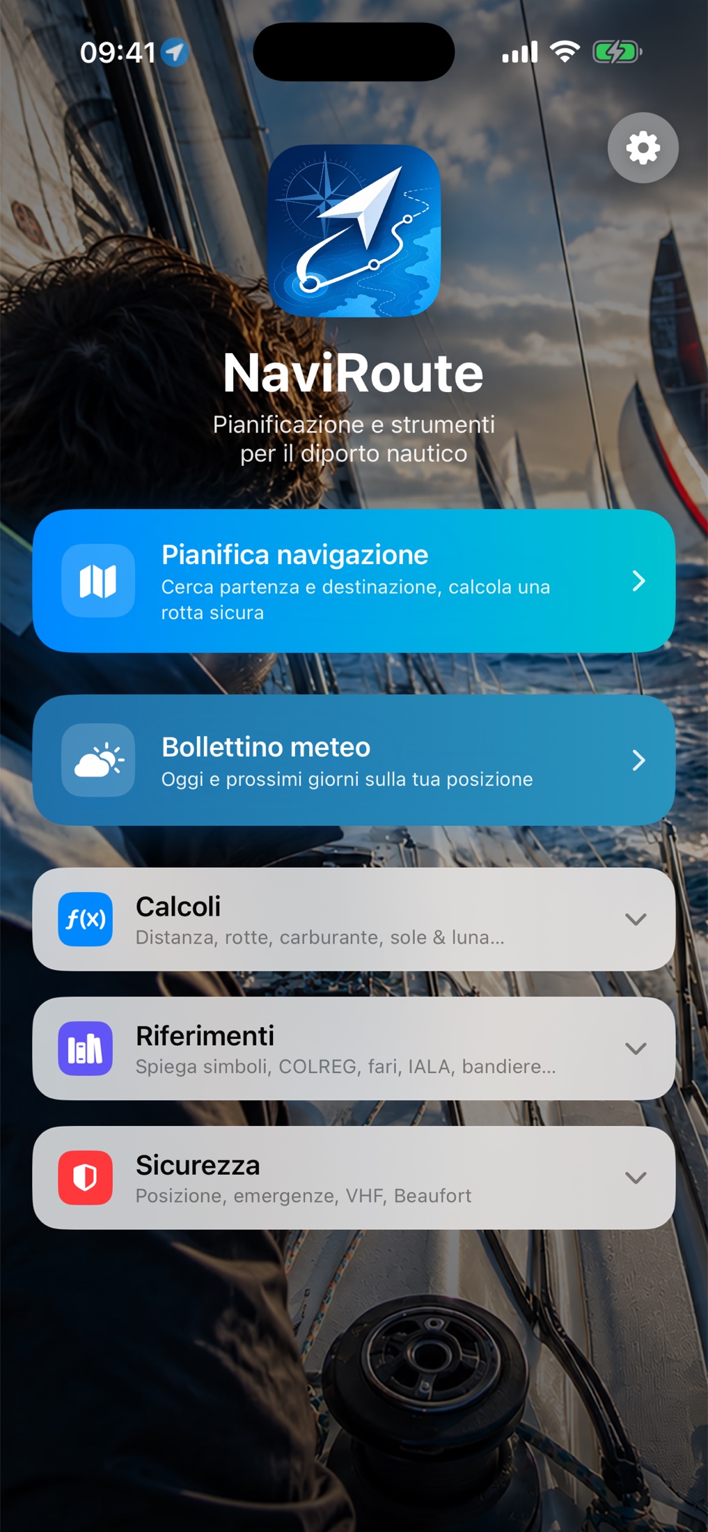
Offline nautical charts and routes for the Mediterranean
Pick departure and destination: NaviRoute computes the real route to follow, avoiding land and staying within the distance from the coast allowed by your licence, even island-hopping. You get distances, navigation zones and estimated time of arrival, and you convert the route to true, magnetic and compass headings with variation and deviation.
Along the track you find harbours and fuel stations, with refuelling stops already scheduled before you touch the reserve and the extra litres to carry when a stretch has no station. All offline, after the first chart download.
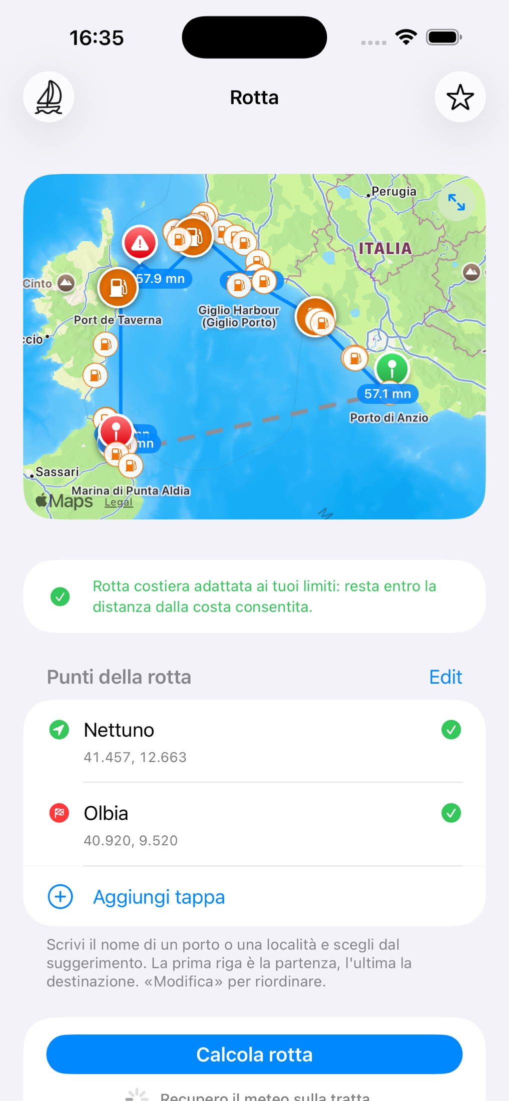
Every trip is recorded: GPS track with speed, course and distance from the coast, total miles for your licence, sea state estimated from the phone sensors. At the end of the day you export everything as GPX or as a PDF with a report written by the onboard intelligent assistant, with no connection.
NaviRoute is a planning aid: it does not replace official nautical charts, Notices to Mariners or onboard instruments. The skipper remains solely responsible for navigation.
Yes. On first launch you download the charts of the whole Mediterranean once; from then on maps, routes, harbours and fuel stations live on your phone. A connection is only needed to download the weather forecast for your area.
The Mediterranean Sea only, organised in 15 regions: from the Ligurian Sea to southern Turkey, including the Balearics, Corsica, Sardinia, Sicily, the Adriatic, Greece and the Aegean, North Africa. Charts of other seas or oceans are not included.
You download and try it for free, then unlock everything forever with a single purchase of €29.90. No subscription, no recurring cost, no charts to renew.
No. No account, no ads, no tracking. The intelligent assistant runs on the phone and your data never leaves it; your location is only used to download the forecast for your area.
No. NaviRoute is a valuable aid to planning and navigation, but it does not replace official nautical charts, Notices to Mariners or onboard instruments. Responsibility for the conduct of the vessel always rests with the skipper.
RENOR & Partners S.r.l.
Via Cicerone, 15 - 00072 Ariccia (RM)
Partita IVA:
16768411007
16768411007
REA:
RM-1674420
Capitale sociale:
€ 10.000,00
Telefono

Follow us
/ Contacts /
Let's talk about your project
Contact us without obligation to request information: fill out the form and one of our consultants will call you back within 24 hours.
© 2026 RENOR & Partners S.r.l. | All rights reserved
Questo sito è protetto da reCAPTCHA e si applicano la Privacy Policy e i Termini di Servizio di Google.